 vesseltracker.com
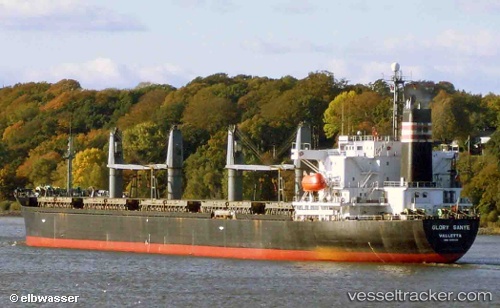
Vessel LUMOSO PERMAI IMO: 9106728, MMSI: 341541002 Bulk Carrier
UTC, 5.90218, 80.03467, course: -1, speed: 8.2
UTC, 6.19500, 79.27708, course: -1, speed: 8
2026-03-01 04:51:17 UTC, 6.32010, 79.13860, course: -1, speed: 8
Live AIS position:
UTC. 50 nm SW of Wadduwa),
updated 2026-03-01 04:51:17 UTC.
Find the position of the vessel LUMOSO PERMAI on the map. The latter are known coordinates and path.
marine traffic ship tracker show on live map
The current position of vessel LUMOSO PERMAI is 6.32010 lat / 79.13860 lng. Updated: 2026-03-01 04:51:17 UTCCurrently sailing under the flag of Saint Kitts and Nevis
Details:
Last coordinates of the vessel:
UTC, 5.90218, 80.03467, course: -1, speed: 8.2UTC, 5.90218, 80.03467, course: -1, speed: 8.2
UTC, 6.19500, 79.27708, course: -1, speed: 8
2026-03-01 04:51:17 UTC, 6.32010, 79.13860, course: -1, speed: 8